
Filter by
SubjectRequired
LanguageRequired
The language used throughout the course, in both instruction and assessments.
Learning ProductRequired
LevelRequired
DurationRequired
SkillsRequired
SubtitlesRequired
EducatorRequired
Results for "geospatial mapping"
 Status: Preview
Yonsei University
Skills you'll gain: Spatial Data Analysis, Spatial Analysis, Geographic Information Systems, Geospatial Mapping, Database Management Systems, Big Data, Apache Hadoop, PostgreSQL, Network Analysis
 Status: NewStatus: Free Trial
Case Western Reserve University
Skills you'll gain: Geostatistics, Exploratory Data Analysis, Spatial Analysis, Descriptive Statistics, Box Plots, Statistical Modeling, R Programming, Plot (Graphics), Rmarkdown, Data Analysis, Data Cleansing, Statistical Methods, Ggplot2, Simulations
 Status: Free
École normale supérieure
Skills you'll gain: Data Visualization, Geospatial Mapping, Statistical Visualization, Peer Review, Geographic Information Systems, Data Mapping, Graphic and Visual Design, Data Presentation, Graphics Software, Color Theory

Skills you'll gain: Spatial Data Analysis, Spatial Analysis, Geographic Information Systems, Geospatial Mapping, Data Presentation, Exploratory Data Analysis, Data Mapping, Descriptive Statistics, Data Access
 Status: NewStatus: Free Trial
Skills you'll gain: JSON, Restful API, JUnit, Software Quality Assurance, Application Programming Interface (API), Test Automation, Java, Data Mapping, Software Testing, Test Case
 Status: Free Trial
University of California, Davis
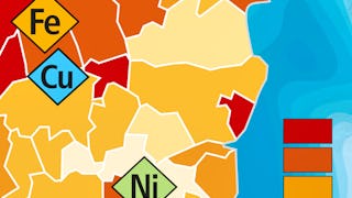
Skills you'll gain: ArcGIS, Geographic Information Systems, Public Health and Disease Prevention, Public Health, Land Management, Geospatial Information and Technology, Geospatial Mapping, Spatial Analysis, Epidemiology, Community Health, Spatial Data Analysis, Social Determinants Of Health, Emergency Response, Environmental Science, Natural Resource Management, Emergency Services, Business Development, Environment and Resource Management, Hazard Analysis, 3D Modeling
 Status: Free Trial
University of Toronto
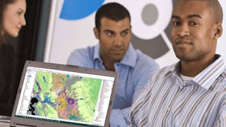
Skills you'll gain: Spatial Analysis, Geographic Information Systems, Geospatial Mapping, ArcGIS, Data Visualization, Data Compilation, Data Mapping, Data Storytelling, Metadata Management, Data Integration, Data Management
 Status: Preview
UNSW Sydney (The University of New South Wales)
Skills you'll gain: Image Analysis, Unsupervised Learning, Geospatial Information and Technology, Computer Vision, Spatial Analysis, Machine Learning, Dimensionality Reduction, Linear Algebra, Deep Learning, Data Validation, Supervised Learning, Probability & Statistics, Artificial Neural Networks
 Status: Free Trial
Coursera Instructor Network
Skills you'll gain: Process Mapping, Strategic Thinking, Process Analysis, Process Management, Business Workflow Analysis, Operational Efficiency, Business Process Improvement, Process Improvement, Lean Methodologies, Waste Minimization

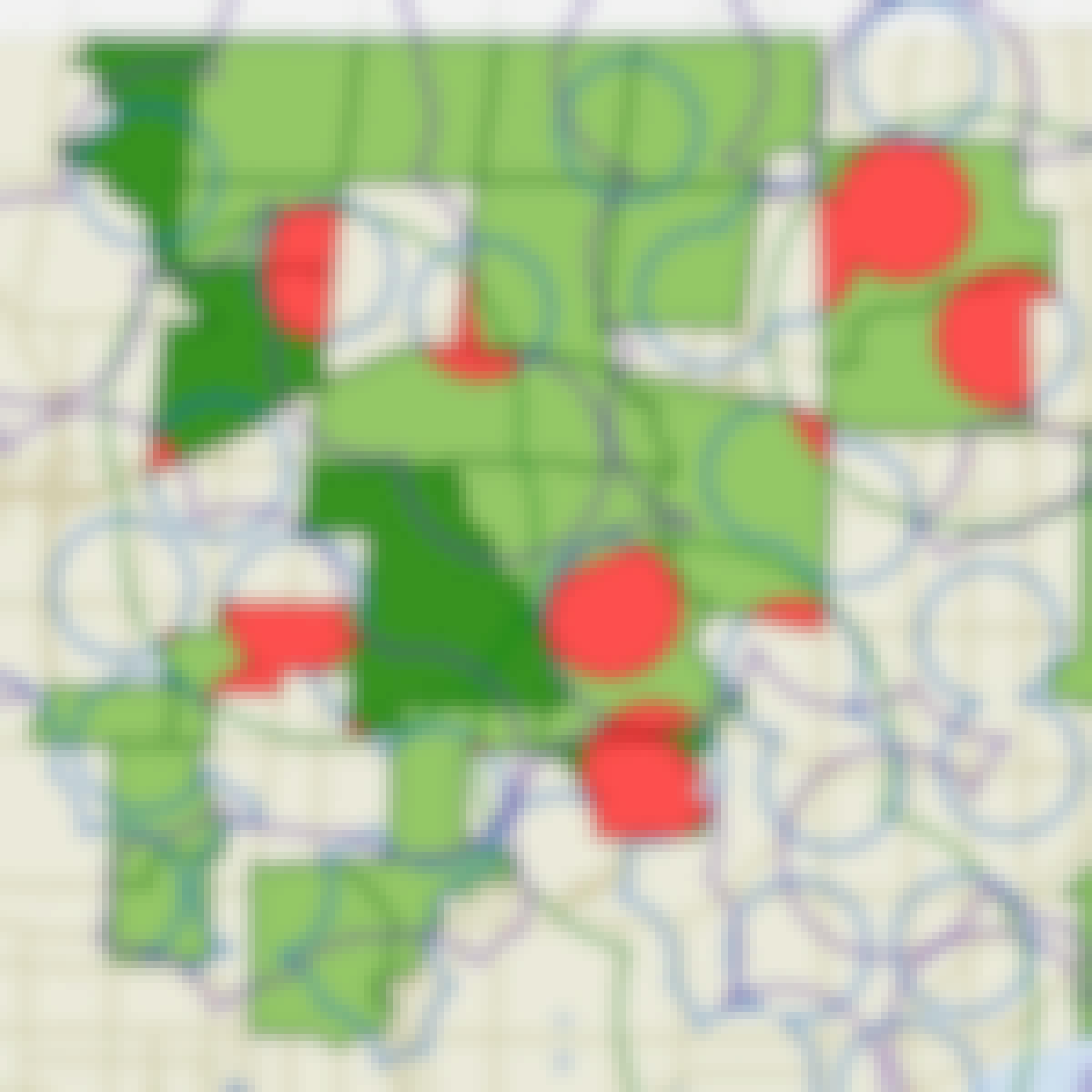
Skills you'll gain: Geospatial Information and Technology, Geospatial Mapping, Spatial Data Analysis, Geographic Information Systems, GIS Software, Spatial Analysis, Environmental Monitoring, Unsupervised Learning, Data Analysis Software, Image Analysis, Global Positioning Systems, Machine Learning, R Programming, Image Quality, Data Processing, Open Source Technology, Data Collection, Data Transformation, Dimensionality Reduction, Data Import/Export
 Status: Free Trial
University of Toronto
Skills you'll gain: Geographic Information Systems, GIS Software, Spatial Analysis, Spatial Data Analysis, Geospatial Information and Technology, Geospatial Mapping, Query Languages, Data Manipulation, Image Analysis
 Status: NewStatus: Free Trial
Skills you'll gain: Rmarkdown, Web Scraping, Geospatial Information and Technology, Microsoft Azure, Cloud Storage, Geospatial Mapping, Interactive Data Visualization, R Programming, Data Collection, Data Manipulation, Data Science, Data Integration, Data Analysis, File Management, Application Programming Interface (API)
In summary, here are 10 of our most popular geospatial mapping courses
- Spatial Data Science and Applications: Yonsei University
- Using R for Geostatistical Geospatial Modeling : Case Western Reserve University
- Cartographie thématique: École normale supérieure
- ArcGIS Desktop for Spatial Analysis: Go from Basic to Pro: Packt
- REST Assured Java - Testing Employee Database: EDUCBA
- GIS Applications Across Industries: University of California, Davis
- GIS, Mapping, and Spatial Analysis Capstone: University of Toronto
- Remote Sensing Image Acquisition, Analysis and Applications: UNSW Sydney (The University of New South Wales)
- Value Stream Mapping: Coursera Instructor Network
- Satellite Remote Sensing Data Bootcamp With Opensource Tools: Packt


